
Greater Victoria Development Tool
Property Development
Potential Assessment
Free FSR calculator, zoning analysis and subdivision check across the 13 Greater Victoria municipalities. Built and run by Dallas King, residential and land development real estate agent in Victoria, BC.
Last updated: September 2026
Understanding Your Property's Development Potential in Greater Victoria
Since Bill 44, the lot often matters more than the house standing on it, and most owners in Greater Victoria have never been told what theirs is now allowed to hold. Whether that is a single-family lot in Saanich, an aging commercial parcel in downtown Victoria or acreage in Sooke, the answer starts with the zoning. This free tool reads zoning bylaws, Official Community Plan designations, Floor Space Ratio limits and the current provincial housing legislation, and gives you the picture in a few seconds.
How the Assessment Tool Works
Enter any address within the 13 supported municipalities and the tool cross-references your property's GIS data with current municipal zoning bylaws, OCP policies, and provincial regulations including SSMUH rules for Greater Victoria and Transit-Oriented Area (TOA) density provisions. The result is a comprehensive snapshot showing your current zoning, maximum allowable density, subdivision eligibility, and any bonus density your property may qualify for under recent legislative changes.
The assessment draws on authoritative GIS data from each municipality's open data portals and applies the calculation methodology that professional land planners use during pre-application feasibility studies. While no automated tool replaces a site-specific professional review, our assessment provides a reliable starting point that helps property owners, investors, and developers decide whether to pursue a full feasibility analysis.
The 13 Greater Victoria municipalities covered
Dallas King's assessment covers Victoria, Saanich, Oak Bay, Esquimalt, Langford, Colwood, View Royal, Metchosin, Highlands, Central Saanich, North Saanich, Sidney and Sooke.
- development potential in the City of Victoria
- development potential in Saanich
- Oak Bay zoning and SSMUH rules
- development potential in Esquimalt
- development potential in Langford
- development potential in Colwood
- development potential in View Royal
- development potential in Metchosin
- development potential in the Highlands
- development potential in Central Saanich
- development potential in North Saanich
- development potential in Sidney
- There is a dedicated guide to development potential in Sooke.
Zoning vs. OCP: Why Both Matter
Zoning is the current legal regulation that dictates what you can build today — lot coverage, building height, setbacks, and FSR. The Official Community Plan (OCP) represents the municipality's long-term vision for land use in your neighbourhood. When your OCP designation supports higher density than your current zoning, there's a window of opportunity: your property may be a strong candidate for rezoning, which could unlock significantly more buildable floor area and increase your land value.
For example, a property currently zoned R-1 (single-family) with an OCP designation of "Urban Residential" may support rezoning to allow townhouses or low-rise apartments. Our tool highlights these gaps between zoning and OCP, flagging properties where rezoning could be viable. Understanding how Bill 44's density provisions interact with local OCP policy is critical for anyone evaluating redevelopment options.
How SSMUH and Transit-Oriented Areas Affect Your Property
Two pieces of provincial legislation have fundamentally changed what homeowners can build on their properties. Under SSMUH (Small-Scale Multi-Unit Housing), most residential lots in municipalities with over 5,000 residents can now accommodate up to 4 dwelling units — or even more if the property sits near a frequent transit stop. This means a traditional single-family lot could potentially house a duplex, triplex, or fourplex without a rezoning application.
Transit-Oriented Areas (Bill 47) go even further. Properties within 400 metres of designated transit exchanges can qualify for dramatically higher densities, up to 10 storeys within 200 metres and up to 6 storeys between 200 and 400 metres, with no minimum parking requirements (except accessible parking). Our tool checks your property's proximity to qualifying transit exchanges and identifies which TOA density tier applies. To understand how these two programs compare, see our SSMUH vs. Transit-Oriented Areas comparison.
What the legislation permits and what a specific lot can carry are two different questions. Lot size, frontage, servicing capacity, setbacks, slope and tree bylaws all decide the real answer, and a municipal pre-application meeting is what confirms it.
Subdivision: whether your lot can be split
Subdivision is one of the most straightforward ways to increase property value. If your lot exceeds the minimum lot size required by your zone, you may be able to divide it into two or more legal parcels, each with its own title. Our tool evaluates lot area, frontage, access requirements, and minimum lot size thresholds for your specific zone to provide a preliminary subdivision eligibility assessment.
Subdivision requirements vary significantly across Greater Victoria. In Saanich, minimum lot sizes for conventional residential zones typically range from 550 to 700 m², while Langford's newer subdivisions may require as little as 300 m² for compact lots in growth centres. Central Saanich, Colwood, and View Royal each apply their own standards. Understanding these thresholds before listing or developing your property helps you make informed decisions about the highest and best use of your land.
From Assessment to Action: Working With the Right Professionals
This tool gives you a data-driven starting point, but turning development potential into built reality requires a team of qualified professionals. A licensed land surveyor confirms your lot boundaries and area. A planning consultant or architect helps navigate the municipal approval process. A qualified development consultant can prepare a full feasibility study that includes construction cost estimates, financing models, and timeline projections. Acquisition cost belongs in the same model. Property transfer tax is due in cash when the transfer registers, unless an exemption applies, and it reaches 3 percent plus a further 2 percent on residential value above $3,000,000. A qualifying new rental building can be exempt from it entirely through 2030. What property transfer tax costs in Victoria, and where each exemption stops, is set out in full.
If the assessment turns up something worth pursuing, the next step is a conversation about which of the five paths the lot actually supports: infill and SSMUH, subdivision, land assembly, rezoning the parcel you already own, or a larger multifamily or transit-oriented site. And an honest sixth answer, because sometimes the right move is to leave the property alone or just sell it. Dallas King will say so.
Talk it through
Dallas King, residential and land development real estate agent in Victoria, BC. Twenty years in the trades before he was licensed, so the numbers are real. Book a free thirty minute call to go through your assessment result and what it would take to act on it.
Dallas King Personal Real Estate Corporation, RE/MAX Generation, 202-3440 Douglas Street, Victoria, BC.
Frequently Asked Questions
What is a development potential assessment?
A development potential assessment analyzes your property against municipal zoning bylaws and regulations to determine what types of development may be possible. This includes subdivision eligibility, floor space ratio (FSR) calculations, setback requirements, and building restrictions.
Which municipalities are supported?
The tool covers the 13 Greater Victoria municipalities: Victoria, Saanich, Oak Bay, Esquimalt, Langford, Colwood, View Royal, Metchosin, Highlands, Central Saanich, North Saanich, Sidney and Sooke.
How accurate is the assessment?
The assessment is based on current GIS data from municipal sources and provides a preliminary analysis. While highly accurate for general zoning and lot information, we recommend consulting with a professional land surveyor, planner, or the municipal planning department before making investment decisions.
What is FSR (Floor Space Ratio)?
FSR is the ratio of a building's total floor area to the size of the lot it sits on. For example, an FSR of 0.5 on a 600 m² lot allows up to 300 m² of building floor area. FSR is a key factor in determining how much you can build on your property.
Can I subdivide my property?
Subdivision eligibility depends on your lot size, zoning, frontage, access, servicing, and municipal regulations. Minimum lot sizes vary by zone — typically 550-700 m² for urban residential areas. Our tool provides a preliminary assessment based on these factors.
What zoning information does this tool provide?
The tool provides your property's current zoning designation, permitted uses, setback requirements, height restrictions, lot coverage limits, and FSR. This information helps you understand what can be built on your property under current municipal regulations.
What is the difference between zoning and OCP designation?
Zoning is the current legal regulation that determines what you can build today. The Official Community Plan (OCP) is the municipality's long-term vision for land use. When the OCP designation supports higher density than current zoning, your property may have rezoning potential to unlock additional development capacity.
How does SSMUH affect my property?
Small-Scale Multi-Unit Housing (SSMUH) under Bill 44 allows up to 4 units on most residential lots in municipalities with over 5,000 residents. Properties near transit hubs may qualify for even more units. Our tool identifies your SSMUH eligibility and potential unit count.
What are Transit-Oriented Areas (TOAs) and how do they affect density?
Transit-Oriented Areas, established under Bill 47, allow significantly higher density within 400 metres of designated transit exchanges. Properties within 200 metres can build up to 10 storeys (3.5 FAR), and properties between 200 and 400 metres can build up to 6 storeys (2.5 FAR). No minimum parking is required except accessible parking. Our tool checks your proximity to TOA zones.
Do I need to assemble neighbouring properties?
For smaller lots (under 15,000 sq ft), assembling adjacent properties can create larger, more attractive development sites. This is especially valuable in high-density areas where land assembly unlocks significantly more development potential through higher FSR allowances.
What are the typical steps in the development process?
The development process typically involves: 1) Feasibility analysis, 2) Pre-application consultation with the municipality, 3) Formal rezoning application (if needed), 4) Development permit application, 5) Building permit, and 6) Construction. Timeline varies by municipality and project complexity — typically 12-24 months for rezoning.
Is this assessment free?
Yes, the online assessment tool is completely free. It provides an instant preliminary analysis of your property's development potential based on publicly available GIS and zoning data. For a detailed consultation with a licensed REALTOR® who specializes in development properties, contact Dallas King, RE/MAX Generation.
What should I do if the tool shows high development potential?
If your property shows significant development potential, we recommend: 1) Scheduling a free consultation to review the results in detail, 2) Engaging a qualified development consultant to assess feasibility and costs, 3) Contacting the municipal planning department for pre-application advice. Dallas King can help you identify the right next conversation.
Does the assessment account for heritage or environmental protections?
The tool identifies basic zoning and OCP data but may not capture all site-specific constraints such as heritage designations, environmental development permit areas, steep slopes, or tree protection bylaws. A professional site review is recommended for properties with potential constraints.
Featured Listings
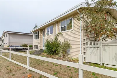
770 Government St, Duncan BC V9L 1B2
Duncan, BC
6 bed · 2.0 bath · 2,072 sf
Single Family Residence
Courtesy of Oakwyn Realty Ltd. (NA)
MLS® Reciprocity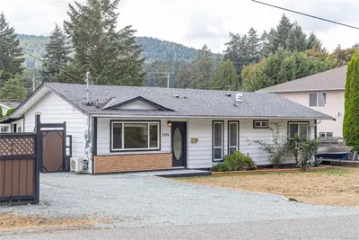
2890 Canyon Park Pl, Langford BC V9B 4Z4
Langford, BC
3 bed · 1.0 bath · 1,064 sf
Single Family Residence
Courtesy of Sutton Group West Coast Realty
MLS® Reciprocity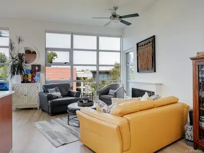
797 Tyee Rd #401, Victoria BC V9A 7R4
Victoria, BC
2 bed · 1.0 bath · 953 sf
Condo Apartment
Courtesy of Newport Realty Ltd.
MLS® Reciprocity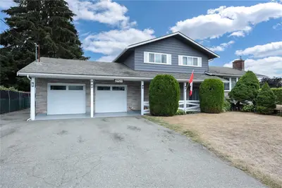
2921 Mount Wells Dr, Langford BC V9B 4R9
Langford, BC
4 bed · 4.0 bath · 2,589 sf
Single Family Residence
Courtesy of DFH Real Estate Ltd.
MLS® Reciprocity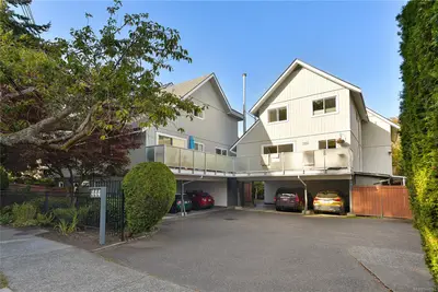
444 Michigan St #2, Victoria BC V8V 1R5
Victoria, BC
3 bed · 2.0 bath · 1,527 sf
Townhouse
Courtesy of Engel & Volkers Vancouver Island
MLS® Reciprocity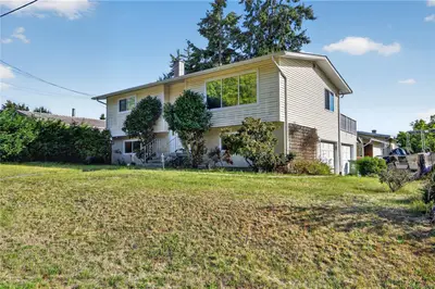
4594 Alwyn St, Port Alberni BC V9Y 5V1
Port Alberni, BC
4 bed · 2.0 bath · 1,830 sf
Single Family Residence
Courtesy of RE/MAX Mid-Island Realty
MLS® Reciprocity