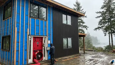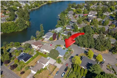
Before any design work begins on a residential development project in BC, you need accurate survey data. A BC Land Surveyor (BCLS) establishes legal property boundaries, documents existing topography, and prepares the plans required for subdivision and strata applications. They are the foundation of the entire development consultant team.
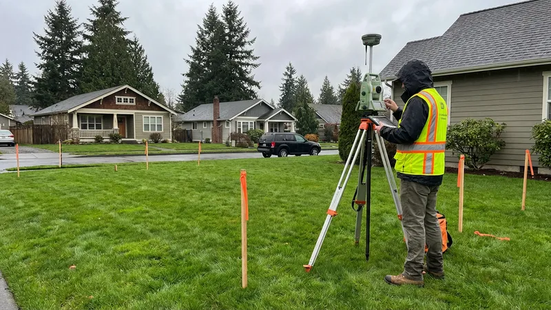
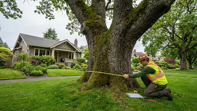
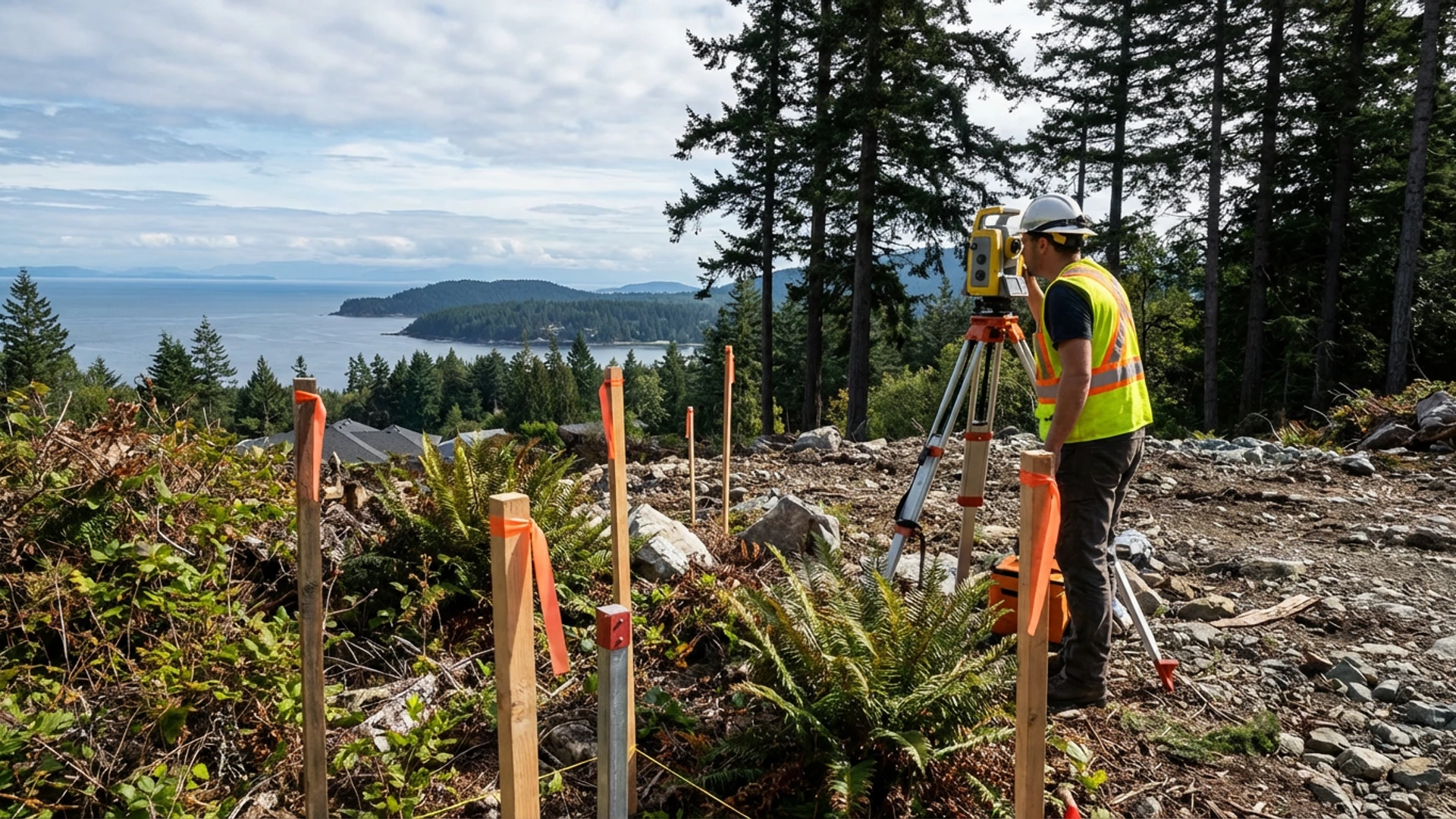
A BC Land Surveyor using a total station to establish precise boundary and elevation data — the starting point for every development project.
What Is a BC Land Surveyor (BCLS)?
A BC Land Surveyor is a regulated professional licensed by the Land Surveyors of BC (LSBC). Only a commissioned BCLS can prepare legal survey plans filed with the Land Title and Survey Authority (LTSA). This is not optional — any plan that legally defines property boundaries must come from a BCLS.
BCLS professionals complete a university degree in geomatics or surveying. They then serve a supervised articling period and pass provincial examinations. Unlike engineers or architects, they can only practice in BC — their commission is specific to this province.
Types of Surveys You May Need
Different projects require different survey products. Understanding which you need before contacting a surveyor helps you get an accurate quote and avoid scope creep.
Boundary Survey
A boundary survey confirms the exact legal limits of your property. It locates existing survey monuments (metal pins or posts set by previous surveyors) and re-establishes corners where markers are missing. This is the starting point for any development.
Topographic Survey
A topographic survey maps the existing physical features of your property: elevations, slopes, buildings, trees, drainage features, and utility locations. Architects, civil engineers, and landscape architects all use this data as a base for their designs.
Building Location Certificate (BLC)
A Building Location Certificate shows the location of an existing building relative to property boundaries. Municipalities often require one before issuing a building permit. Lenders sometimes require one for mortgage financing.
Subdivision Plan
A subdivision plan divides one parcel into two or more new legal lots. Only a BCLS can prepare this plan. It must meet municipal subdivision requirements and be approved by the LTSA before new titles can be issued.
Strata Plan
A strata plan creates individual strata lots from a multi-unit building. This is the legal document that allows you to sell individual units in a duplex, townhouse, or condo project as separate properties with their own titles.
Why You Need Current Survey Data
On Vancouver Island, many properties were surveyed decades ago. Survey markers are often missing, disturbed, or inaccurate by modern standards. Relying on old survey data creates risk. Discovering mid-design that your proposed building footprint encroaches on a neighbour's lot can force a complete redesign.
Property databases and online mapping tools show approximate boundaries only. They are not legally precise and should never be used for design decisions. A current BCLS survey is the only reliable source of boundary truth.
The Survey as the Foundation for All Other Consultants
Survey data feeds into every other consultant's work. Getting it first — before design begins — prevents costly rework downstream.
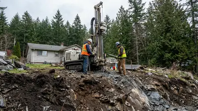
Rock and Terrain Challenges
Vancouver Island's varied terrain creates unique surveying challenges. Rocky outcrops in Victoria and Oak Bay, steep hillsides in Langford and the Highlands, and dense vegetation can all limit access to survey points. Properties on slopes may have significant differences between their legal (horizontal) area and their actual (surface) area.
Coastal Properties
Properties with ocean frontage face additional complexity. The natural boundary — the high-water mark — is the legal boundary for most waterfront properties in BC. This boundary can shift over time due to erosion, accretion, or sea level change. A BCLS with coastal survey experience is essential for waterfront development projects.
How Survey Data Feeds Into Other Consultants' Work
The survey is foundational; literally everything else depends on it:
- Architect: Uses the topographic survey as the base for building design, ensuring proper setbacks and site coverage
- Geotechnical engineer: References survey elevations for test hole locations and slope analysis
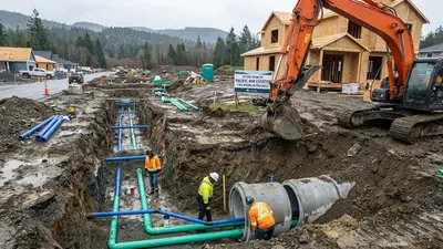
- Civil engineer: Designs servicing and drainage based on survey contours and existing utility locations
- Arborist: Locates protected trees using the survey as a reference plan
- Landscape architect: Develops grading and planting plans based on existing topography
- Environmental consultant: References the survey for watercourse locations and setback measurements
Typical Costs on Vancouver Island
| Survey Type | Typical Cost Range | Timeline |
|---|---|---|
| Boundary survey (standard urban lot) | $2,000–$4,000 | 2–4 weeks |
| Topographic survey | $2,500–$5,000 | 2–4 weeks |
| Building Location Certificate | $1,500–$3,000 | 1–3 weeks |
| Subdivision plan (2 lots) | $5,000–$10,000 | 4–8 weeks |
| Strata plan | $6,000–$15,000+ | 6–12 weeks |
Costs vary based on lot size, terrain complexity, access, and surveyor availability. Survey firms on Vancouver Island are busy; lead times of 4–8 weeks are common during peak construction season (spring through fall).
How to Choose a Surveyor
- Verify BCLS commission: Confirm they are a current, commissioned BC Land Surveyor through the LSBC directory
- Local experience: Prioritize firms with specific Vancouver Island experience; familiarity with local LTSA records, municipal requirements, and terrain conditions matters
- Ask about deliverables: Confirm you'll receive digital files (DWG or equivalent) that can be shared directly with your architect and engineer, not just a paper plan
- Understand the scope: Be clear about what you need. A topographic survey and a boundary survey are different products at different price points
- Get a fixed quote: Most surveys can be quoted as a fixed fee rather than hourly, which protects you from unexpected costs
Check Your Property's Development Potential
Before engaging a surveyor, get a preliminary sense of what your property can support. Our free Development Potential Assessment analyzes your lot against current SSMUH, TOA, and subdivision regulations.
Start Your AssessmentThe Complete Consultant Guide Series
- Overview: Building Your Development Team
- Part 1: BC Land Surveyor (BCLS) — You Are Here
- Part 2: Certified Arborist — Tree Protection and Development in BC
- Part 3: Geotechnical Engineer — What's Under Your Lot Matters
- Part 4: Building Architect (AIBC)
- Part 5: Structural Engineer
- Part 6: Civil Engineer
- Part 7: Building Envelope Consultant + Energy Advisor
- Part 8: Landscape Architect (BCSLA)
- Part 9: Environmental Consultant (QEP)
- Part 10: Traffic Engineer
Disclaimer: This article provides general information about land surveying in BC as of February 2026. Requirements vary by municipality and project type. Always confirm specific requirements with your local planning department and engage a commissioned BC Land Surveyor for your project. This is not legal or professional advice.